

Summary
- DJI introduced the enterprise Matrice 5T on November 5, 2026.
- Its thermal camera offers native 1280×1024 resolution and a 2560×2048 UHR mode.
- The aircraft features three 50 MP visual cameras, LiDAR, mmWave radar and IP55 protection.
- It is available through authorized dealers, with no official European price announced.
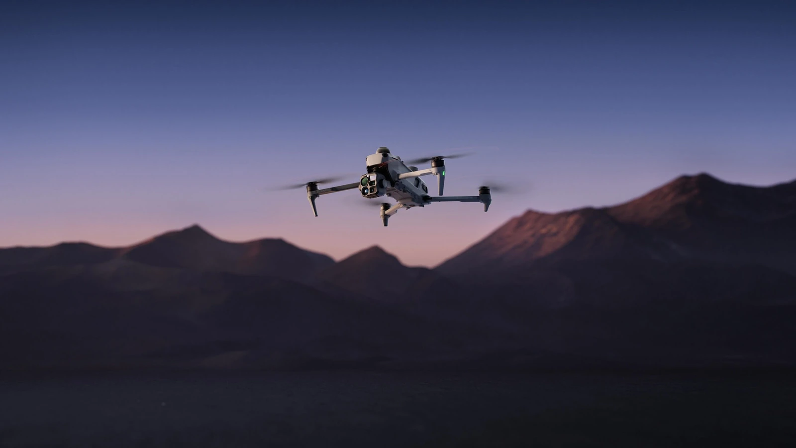
DJI unveiled the Matrice 5T on November 5, 2026, a folding enterprise drone featuring native 1K thermal imaging, three 50 MP visible-light cameras and a LiDAR-and-radar obstacle-sensing system.
The official launch confirms that the enterprise drone teased for November 5 is the Matrice 5T, built for inspection crews, search-and-rescue teams and mapping missions.
Native 1K thermal imaging and three 50 MP cameras
The thermal camera offers native 1280×1024 resolution, four times the pixel count of a 640×512 sensor. Its UHR Infrared Image mode delivers 2560×2048 imagery at up to 30 fps, but that does not change the sensor’s native resolution. More detail in the source thermal capture can help crews identify small temperature variations across infrastructure or in the field.
Three 50 MP visible-light cameras sit alongside it: a wide-angle camera with a 1/0.98-inch sensor and f/1.8 lens, a medium telephoto with 3x optical zoom, and a telephoto with 11x optical zoom and up to 176x hybrid zoom. DJI also claims AI-enhanced full-color night imaging at illumination levels as low as 0.01 lux, while the long telephoto supports monochrome night vision.
Thermal and visible feeds can appear side by side or in a fused view on the controller, along with temperature readings and alerts. More information here.
LiDAR, radar and operation in demanding conditions
The Matrice 5T combines LiDAR, mmWave radar and omnidirectional visual sensors. DJI says LiDAR can detect thin obstacles such as power cables from up to 32 metres away at night, while radar assists sensing in fog, rain and dust. These systems support situational awareness; they do not guarantee that every obstacle will be avoided.
The aircraft carries an IP55 rating, has a specified operating temperature range of −20 to 50°C and offers a claimed maximum flight time of 59 minutes under controlled, no-payload test conditions. Real endurance will depend on weather, flight profile and installed equipment.
AI, transmission and mapping in practical use
Onboard AI can identify more than 20 target types by processing visible and thermal feeds together. Working with DJI Pilot 2 and FlightHub 2, teams can search for targets using text or images, create patrol routes and add custom capabilities through plugins. The operator must still assess the output, especially during safety-critical missions.
DJI specifies O4 Enterprise Enhanced transmission with a maximum advertised range of up to 40 kilometres under the applicable test conditions and region-dependent limits. Relay modes and cellular connectivity are intended for difficult terrain. The advertised link range does not, by itself, authorize flying that far in Greece or elsewhere.
When paired with DJI Terra, the Matrice 5T supports 2D thermal maps, temperature measurements and on-site modeling. An inspection team can survey solar arrays or power lines, mark hot spots and bring back measurable datasets rather than only an aerial video.
Price and availability
DJI says the Matrice 5T is available from November 5, 2026 through authorized DJI Enterprise dealers. No official European price was found in the company’s launch materials.
What we think
The native 1280×1024 thermal feed is the upgrade that stands out most to us. When inspecting electrical equipment, roofs or large search areas, extra detail can help you decide what needs a closer look. Higher resolution certainly helps, but interpreting thermal imagery correctly remains just as important.
It also makes sense to put LiDAR and radar on the same portable airframe. Anyone flying near cables or difficult terrain knows the value of a better picture of the surroundings. That is precisely where we would never hand over responsibility entirely to automation: mission planning and safe separation distances still belong to the crew.
For rescue teams and inspection professionals, the useful question is whether thermal imaging, telephoto reach, connectivity and mapping save time in the field. DJI has put together a comprehensive system here. A photographer mainly looking for cinematic aerial shots, however, is shopping in a very different category, with a different price structure and operating demands.
Frequently asked questions
Is 2560×2048 the thermal sensor’s native resolution?
No. Its native sensor resolution is 1280×1024. The 2560×2048 output is provided by the separate UHR Infrared Image mode.
Can the drone fly for 59 minutes in the rain?
The 59-minute figure is a maximum measured under controlled test conditions, not a promise of equal endurance in rain. The IP55 rating indicates a specified level of dust and water protection, subject to DJI’s operating limitations.