


Summary
- NASA and IBM released an open foundation model built specifically for lunar science.
- It was trained on roughly 2 million image tiles, primarily from the Lunar Reconnaissance Orbiter.
- It can be adapted for crater mapping, volcanic-feature analysis and estimating polar ice stability.
- The model and code are publicly available through Hugging Face and GitHub.
NASA and IBM have released an open-source artificial-intelligence foundation model designed specifically to analyze the lunar surface.
The NASA-IBM Lunar Foundation Model is based primarily on Lunar Reconnaissance Orbiter (LRO) data and is intended to accelerate tasks that previously required specialized models or time-consuming manual analysis. NASA has made it publicly available through Hugging Face, while the complete codebase is available on GitHub.
Its importance lies not simply in applying AI to Moon imagery, but in combining different kinds of observations into a common model that can be adapted to different scientific tasks. Those range from cataloguing craters to estimating where ice may remain stable near the lunar poles.
Roughly 2 million image tiles for training
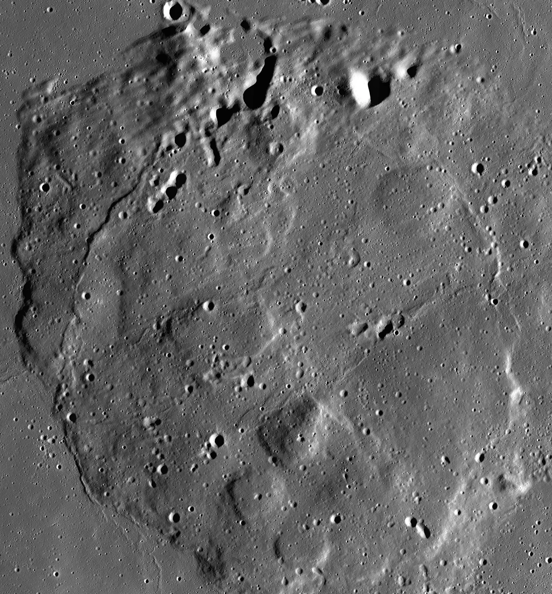
According to NASA, the model was trained on roughly 2 million image tiles. These include more than 1 million high-resolution camera images at about 1 meter per pixel and nearly 964,000 multispectral images at about 100 meters per pixel.
The training base comes primarily from LRO, which has spent 17 years building exceptionally broad coverage of the Moon. The dataset was also enriched with high-resolution Moon imagery and terrain data from NASA’s GRAIL and Lunar Prospector missions, as well as JAXA’s SELENE mission.
Craters, volcanic features and potential ice-rich regions
NASA has emphasized three core task areas: crater mapping, recognition of unusual volcanic features and estimation of polar ice stability. These applications are scientifically valuable in their own right, but they also connect directly to future mission planning.
More complete crater catalogues help date surfaces and reconstruct lunar geological history. So-called irregular mare patches are especially interesting because they appear geologically younger than expected under established timelines for lunar volcanic activity.
At the poles, the model does not “detect ice” in the sense of a direct measurement. It estimates areas where conditions favor long-term ice stability on or below the surface by combining multiple inputs. Confirming the presence of water still requires independent observations or in-situ measurements.
What the early benchmarks show
NASA says the model matched or exceeded strong baselines across the evaluated tasks. IBM Research provides more specific figures: a 22% reduction in error on an ice-prospectivity task compared with SwinV2, nearly 19% better crater-detection performance at 100 meters per pixel while using half the training data, and a 3% improvement for mapping irregular mare patches compared with a task-specific Swin model.
These figures describe specific benchmarks rather than a single universal “accuracy” score. As with any foundation model, practical value depends on the target task, fine-tuning, data quality and scientific validation.
Why this also matters for imaging
For people working in imaging, remote sensing and computer vision, the project is a clear example of foundation models moving from general image recognition into tightly specialized scientific datasets. The source material is not a uniform photo archive: it spans different spatial resolutions, multispectral information, geometric observations and instruments.
IBM says the architecture uses a version of TerraMind, the Earth-observation model developed by IBM and the European Space Agency (ESA). The idea is to learn a common representation across different sensor types and resolutions so that less labeled data is required when adapting the model to a new task.
Open access for research and experimentation
The model, related downstream models, benchmark datasets and technical material have been released publicly, and the implementation is integrated with the open-source TerraTorch toolkit. That gives research teams a way to reproduce benchmarks, test additional tasks and examine where the system works well and where it fails.
The release is part of the broader NASA-IBM effort around foundation models for scientific data, alongside projects such as Prithvi for Earth observation and Surya for heliophysics and space weather.
What we think
The most interesting part is not simply that “AI is mapping the Moon,” but that one model is beginning to unify very different kinds of scientific imagery. If these tools remain open, reproducible and subject to scientific scrutiny, they can reduce the time needed to identify regions and phenomena worth deeper study without replacing confirmation by instruments and researchers.
Frequently asked questions
What is the NASA-IBM Lunar Foundation Model?
It is an AI foundation model designed for lunar data so that it can be adapted to different Moon-surface analysis tasks.
What data was it trained on?
Primarily Lunar Reconnaissance Orbiter data, supplemented with observations from GRAIL, Lunar Prospector and SELENE.
Can it confirm that ice exists on the Moon?
Not by itself. It can estimate where conditions favor ice stability, but confirmation requires independent measurements.
Is the model publicly available?
Yes. The model is available through Hugging Face and the code through GitHub for research and experimentation.